


ROCKFORD (WREX) — There are a variety of special clouds and features that you should be alert for during severe weather.

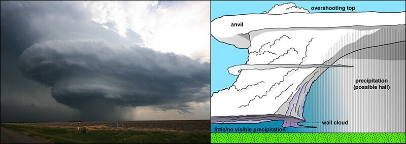
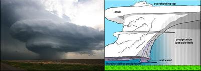
A photo (left) showing a supercell. The diagram (right) shows where cloud features and precipitation can be found. Image courtesy of the the National Severe Storms Laboratory.
Shelf clouds:
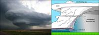
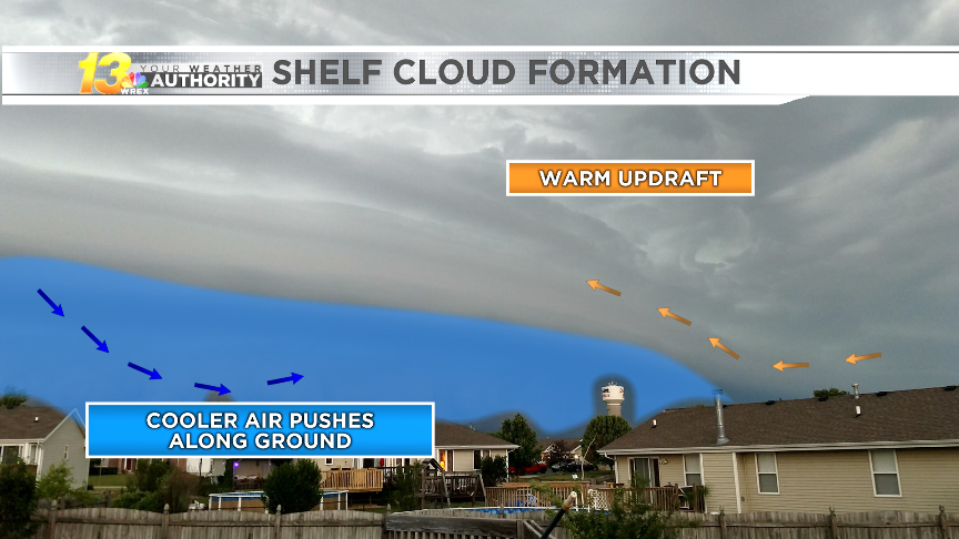
This type of cloud is generally associated with squall lines. Shelf clouds typically cover the entire horizon. According to the National Weather Service office in Louisville, Kentucky, shelf clouds many times are "reported as wall clouds, funnel clouds, or rotation." Winds generally come first, with rain following pretty quickly behind it.

Background on how shelf clouds develop. Image courtesy of Rusty Barnes in Davis Junction.
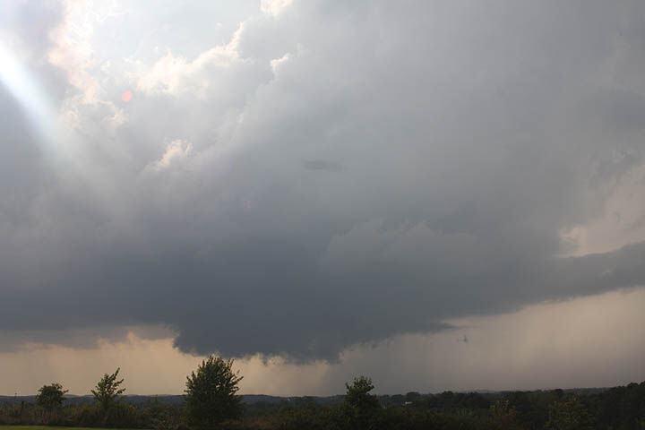
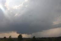
Wall clouds:
Spotters frequently mistake shelf clouds for wall clouds, so knowing how to tell them apart is important for storm spottyers. A wall cloud is an isolated cloud lowering attached to the rain-free base. It is normally located to the south or southwest of the visible precipitation area.
Wall clouds can get quite large, ranging in size from a fraction of a mile up to 5 miles wide. In general, wall clouds tend to be about a mile or two wide, denoting where the strongest updraft of the storm is located. Many wall clouds, especially when viewed from within several miles, exhibit rapid upward motion and counterclockwise rotation.

A wall cloud can be seen just to the left of the rain falling from the base of the cloud. Image courtesy of the the NWS-Louisville, Kentucky.
Not all wall clouds rotate, though they do typically precede strong or violent tornadoes. When a wall cloud develops, a tornado could be anywhere from a few minutes to an hour from developing, so they should be closely monitored by trained storm spotters for persist and sustained rotation and rapid vertical motion.
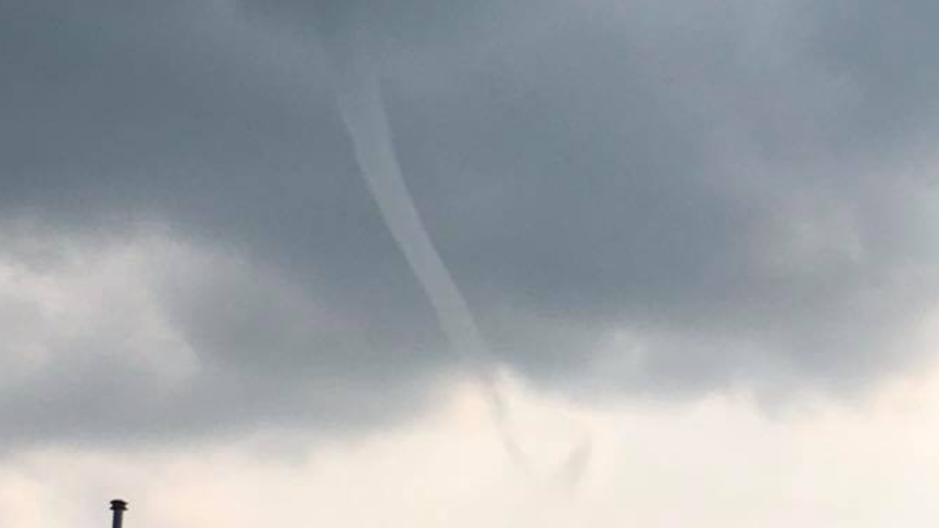
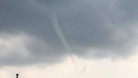
Funnel Clouds:
A funnel cloud is a condensed area of water droplets associated with a rotating column of wind extending from the cloud base. Funnel clouds, unlike tornadoes, do not reach the ground.

Funnel cloud spotted over the Stateline. Image courtesy of Craig Roman.
Funnel clouds frequently come ahead of a tornado touchdown, but not all funnel clouds are able to reach the ground becoming a tornado. Once the funnel cloud reaches the surface or a visible indication of debris or dust forms, it is then considered a tornado.
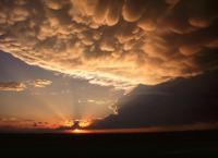
Mammatus clouds:
According to the National Weather Service, mammatus clouds are "rounded, smooth, sack-like protrusions hanging from the underside of a cloud." They are usually found beneath a thunderstorm anvil. Mammatus clouds typically accompany severe thunderstorms, but they are not responsible for producing severe weather.

Mammatus clouds seen underneath a departing thunderstorm anvil. Image courtesy of UCAR.