"peak" Alam-Kuh
Iran /
Mazandaran /
Tonekabon /
World
/ Iran
/ Mazandaran
/ Tonekabon
, 33 km from center (تنكابن)
World / Iran / Mazandaran
mountain, climbing wall
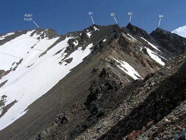
Alam Kuh (also Alam Kooh, Persian: علم کوه) is a mountain in the Alborz mountain range in the north of Iran between Tehran and the Caspian sea, forming a peak of the Takht-e Suleyman Massif. At 4,850 m high, it is the second highest peak in Iran, only to Mount Damavand at 5,671 m.
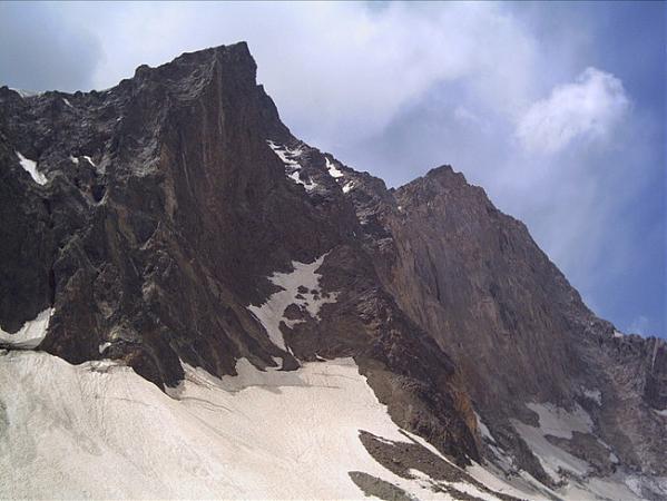
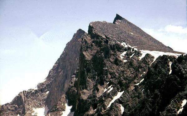
The 800 m high steep granite north face provides some of the most difficult and interesting mountaineering routes in the country and the climbs rank alongside major climbing routes in the European Alps. In addition to local climbers, the north face attracts European climbing teams, the first known ascent being by a German party Gorter/Steinauer in 1936 up the north west ridge.
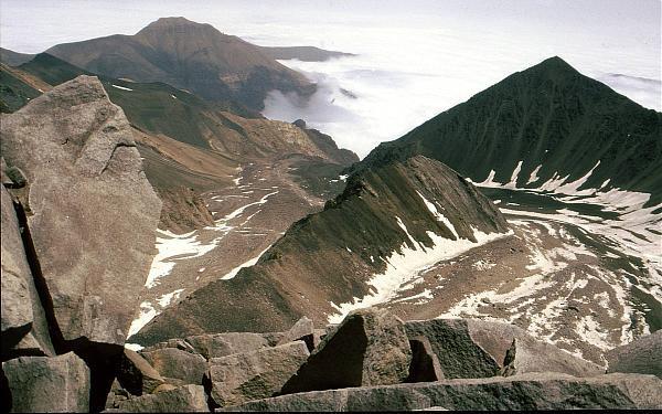
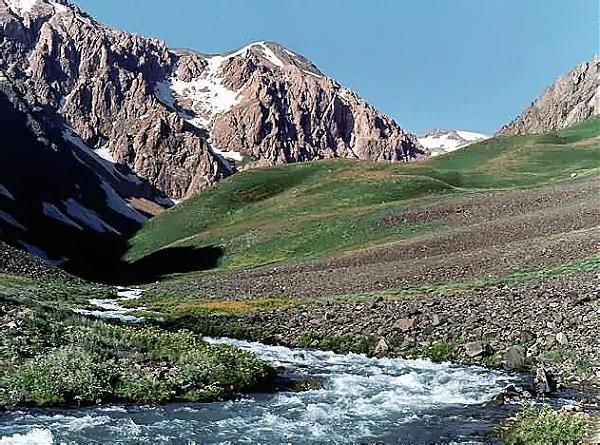
The mountain range supports permanent snow and glaciers and although the southern slopes of the range tend to be dry and barren the northern valleys leading to the Caspian Sea (which offer the best approaches to the mountains) are wet and lush with vegetation.
The 800 m high steep granite north face provides some of the most difficult and interesting mountaineering routes in the country and the climbs rank alongside major climbing routes in the European Alps. In addition to local climbers, the north face attracts European climbing teams, the first known ascent being by a German party Gorter/Steinauer in 1936 up the north west ridge.
The mountain range supports permanent snow and glaciers and although the southern slopes of the range tend to be dry and barren the northern valleys leading to the Caspian Sea (which offer the best approaches to the mountains) are wet and lush with vegetation.
Wikipedia article: http://en.wikipedia.org/wiki/Alam_Kooh
Nearby cities:
Coordinates: 36°22'27"N 50°57'44"E
- Central Alborz Heights 41 km
- Jajrood Protected Area 80 km
- Damavand Volcano Mount - 5,610 m (18,406 ft) 97 km
- Doberar Mountain Range 115 km
- Fordow Mount 152 km
- Davazdah emam Mountain 163 km
- Koh-e Ashkaf 199 km
- Siyah Kuh 206 km
- Kuh-e-Gugerd 217 km
- Kooh-e Nakhjir 241 km
- Permanent Glacier Khersan (Persian: يخچال خرسان) 1.3 km
- Marji Kesh Peak 1.3 km
- ʿAlam-Kūh - Mount Alam 2.1 km
- Permanent Glacier of Alamkouh 2.2 km
- Jrindeh Village 24 km
- Gazan Chal 25 km
- Beles Kuh Protected Area 27 km
- Tehran Province 107 km
- Qazvin Province 108 km
- Mazandaran Province 117 km
Comments