
Wild and Beautiful
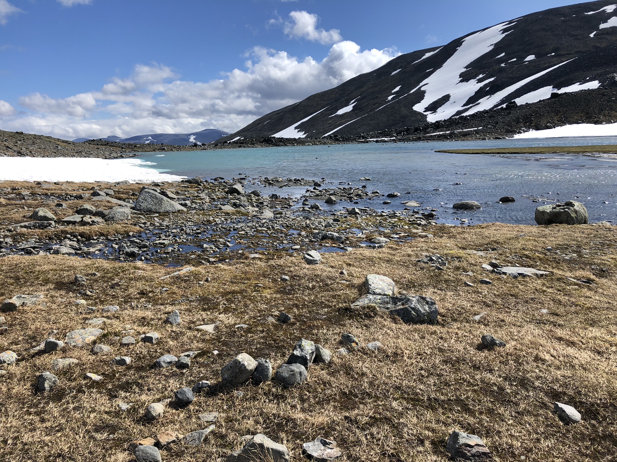
In contrast with glacial ice and the barren surrounding with almost no vegetation the blue and green color of Tarfala lake makes Tarfala valley one of the most beautiful valleys in the Kebnekaise massif.
Tarfala valley (Swedish: Tarfaladalen or Tarfalavagge, Northern Sami: Darfalvággi) is a valley in Kiruna Municipality, Sweden.
One of the main characteristics of Tarfala valley is a swift changes in environment. It differs from many other alpine valleys by its well-known and extraordinary history of glaciological studies.
Hiking through the valley in the summertime means usually experiencing several seasons within just a couple of hours, from Tarfala Lake (Swedish: Tarfalajaure, Northern Sami: Darfáljávri) covered with ice to the summer greenery of Ladtjovagge Valley (Swedish: Ladtjovagge, Northern Sami: Láddjuvággi) in the Kebnekaise Mountains. This can also be a very windy place with little protection from the weather.
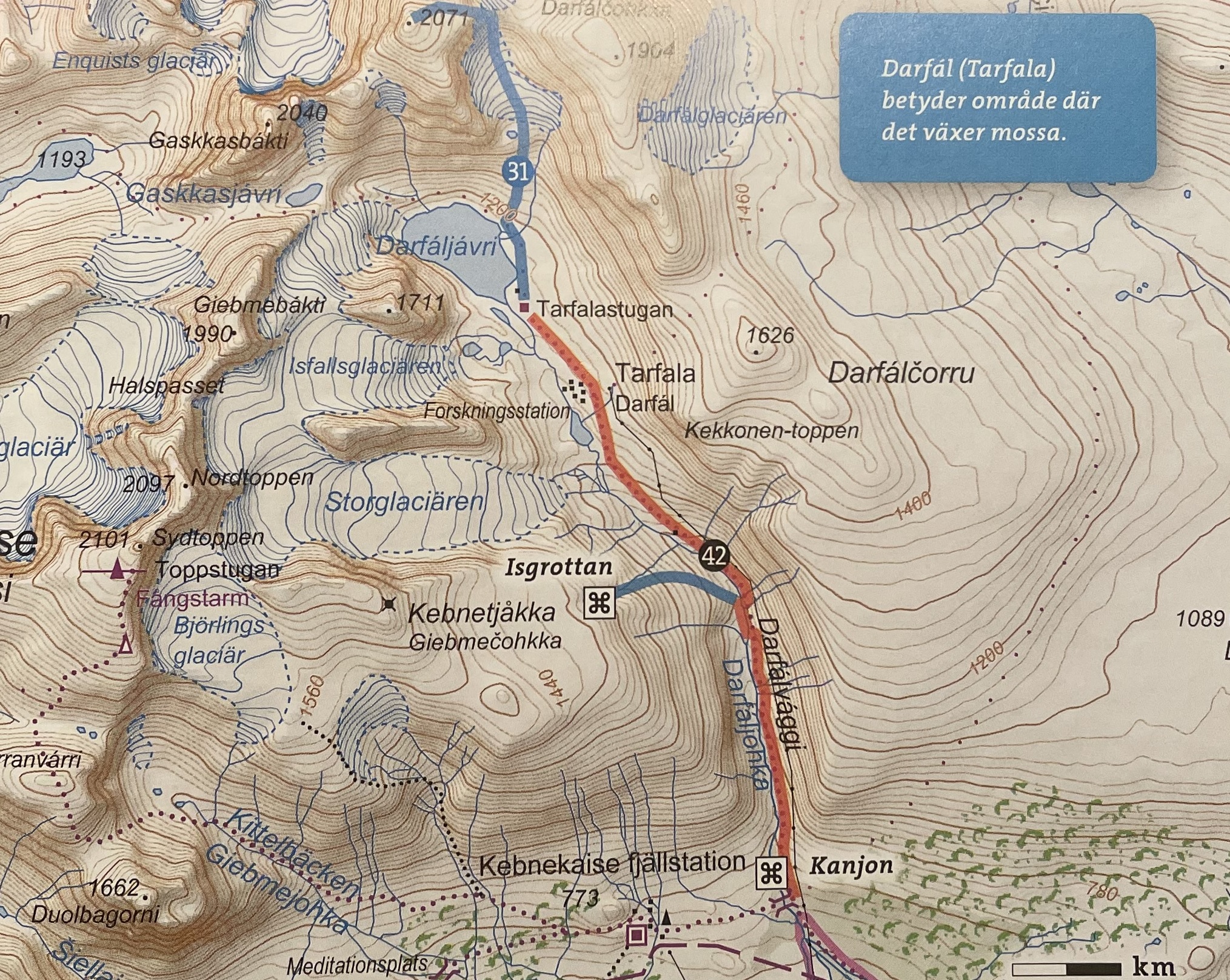
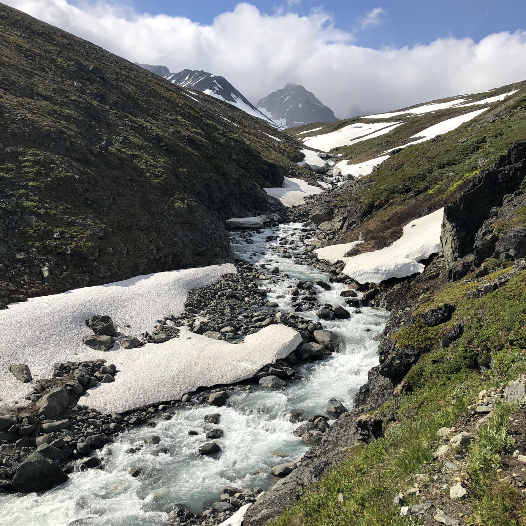
The trek start point for hiking is the bridge over Tarfalajåkka (Northern Sami: Darfaljohka), a streem (Swedish: jokk, Northern Sami: johka) that flows from Tarfalajaure in Tarfala valley to Ladtjojaure (Northern Sami: Láddjujávri) in Ladtjovagge below. The streem drains several large glaciers and is therefore quite water-rich. From Kanjon where the bridge is located to STF Tarfala Mountain Cabin is about 6K.
There are two ways to reach Kanjon bridge. The first one is from Nikkaloukta (North Sámi: Nihkkáluokta) the only settlement in the Kebnekaise massif. Nikkaloukta village belongs to Gällivare Municipality and bordering Kiruna Municipality. The closest urban area is Kiruna, 70 kilometers away. Nikkaluoktaexpressen departs for Nikkaluokta from Kiruna (stops at bus station, railway station, and airport) every spring, summer, and autumn.


Nikkaloukta is the end of the public road network and the gateway to the Kebnekaise Mountain Station. It is also a popular entrance to the long-distance hiking trail “Kungsleden”, the King’s trail. The path to to the STF Kebnekaise Mountain Station is well-marked and leads over the Kanjon bridge. From Nikkaloukta to the bridge is 17K.
Hikers who are taking the King’s trail and are coming from the direction of the STF Kebnekaise Mountain Station, follow the path east towards Nikkaluokta. They reach the bridge after 2K uncomplicated hiking.
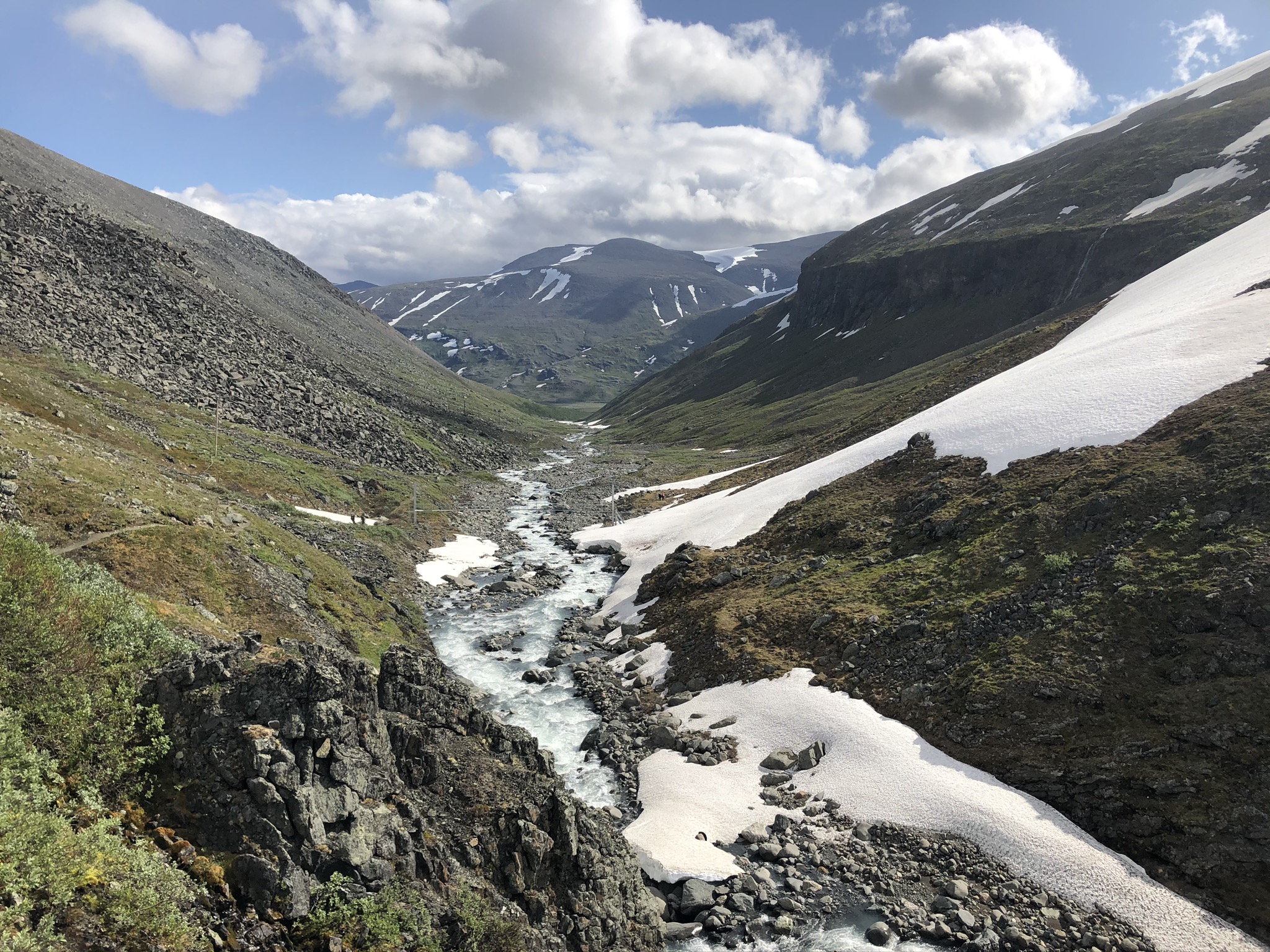
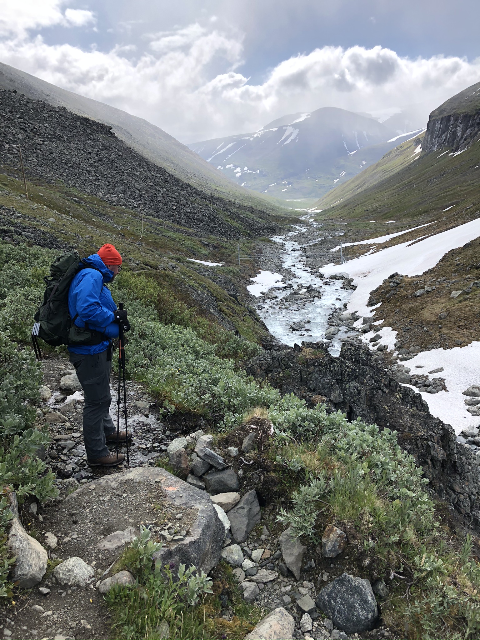
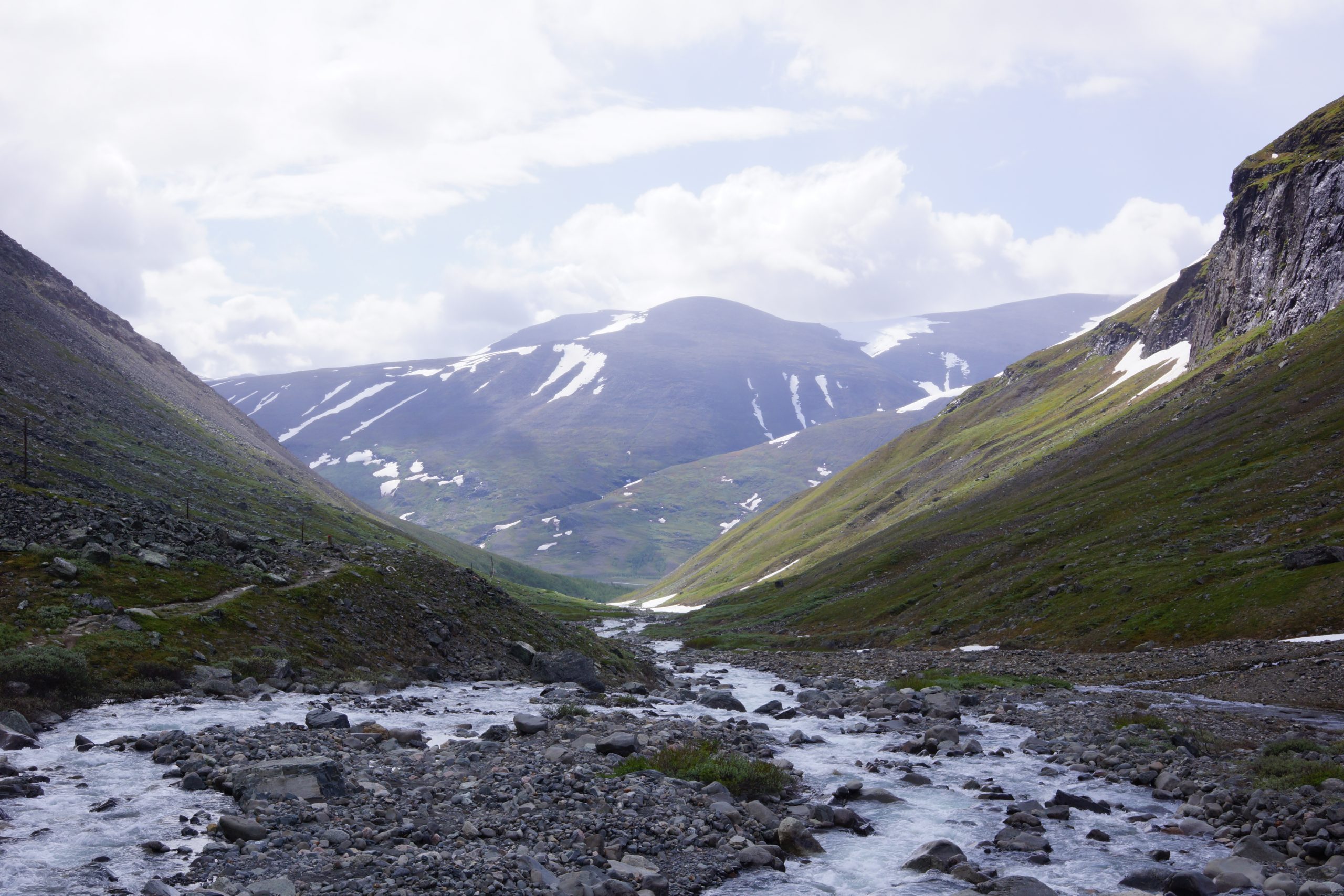
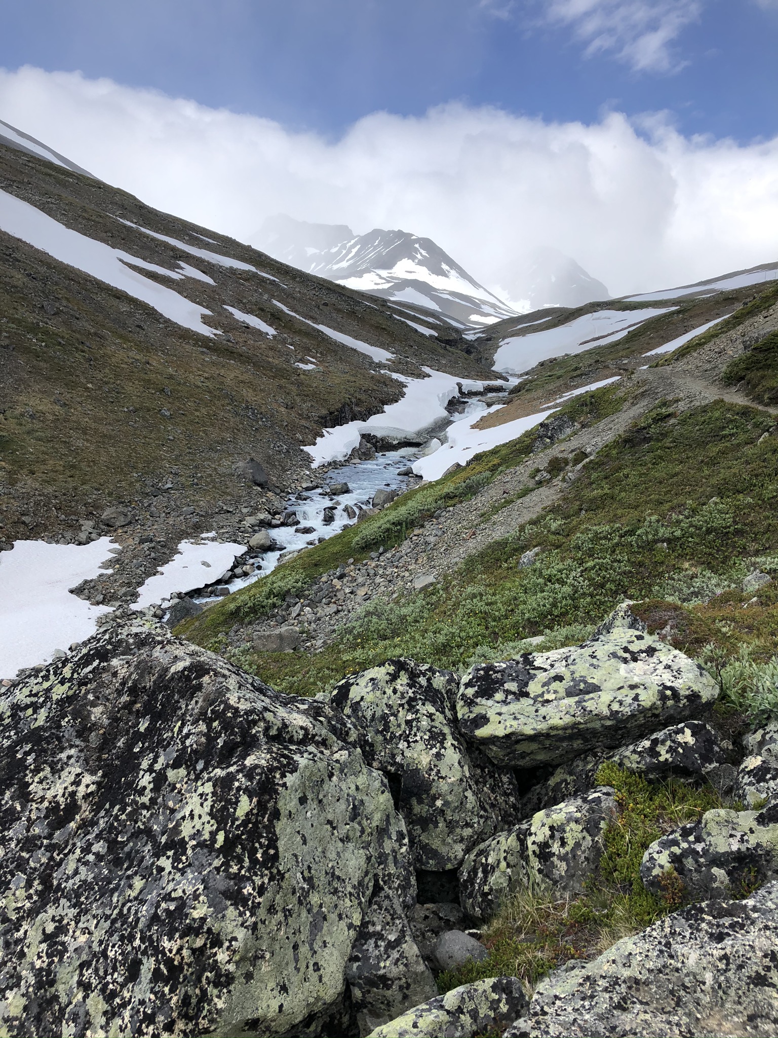
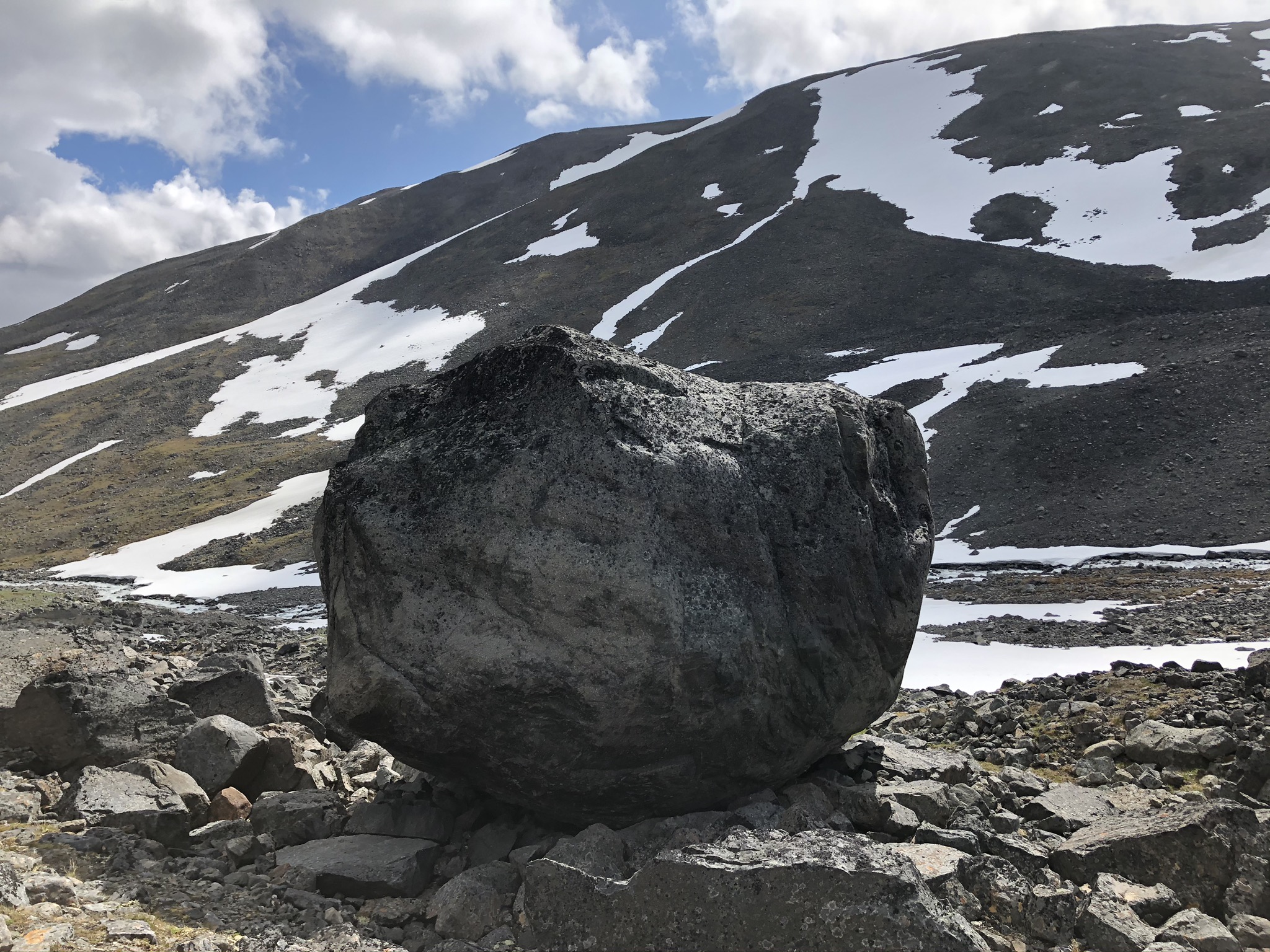
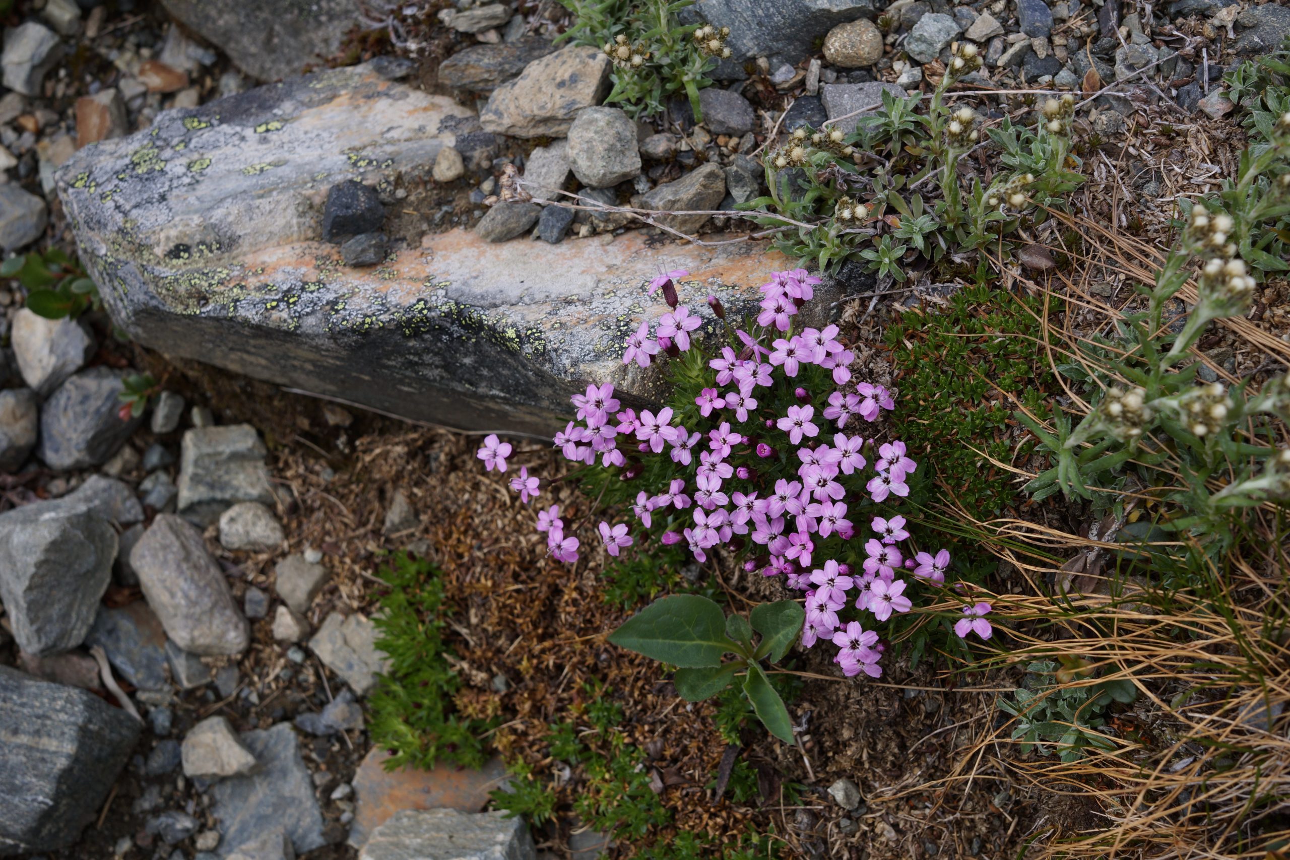
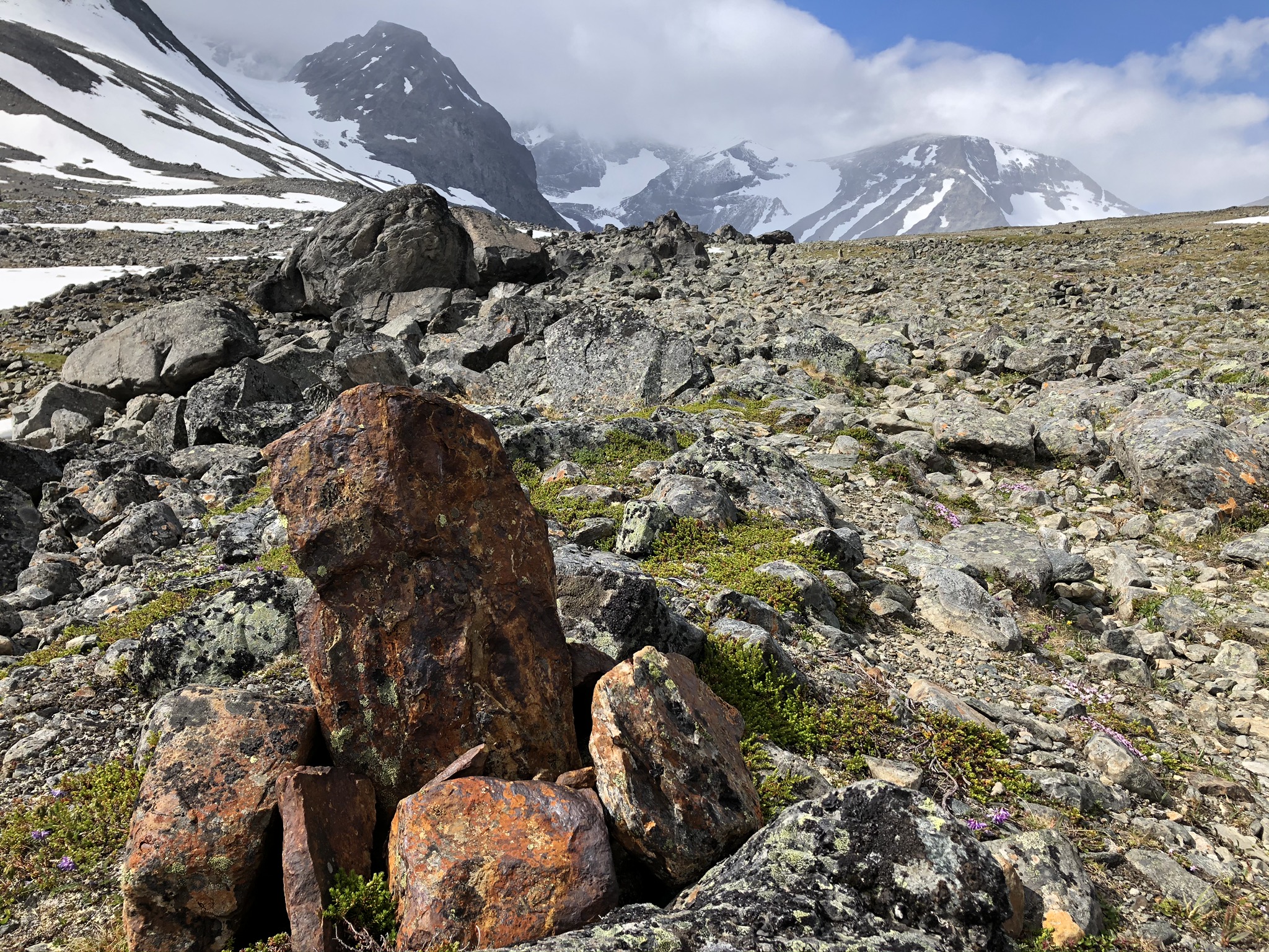
After the bridge the trail turns off northwards and follows Tarfalajåkka stream. The birch forest is replaced with low vegetation as lichens, moss, grass and flowers. From here trail rises steeply and starts being very strenuous.
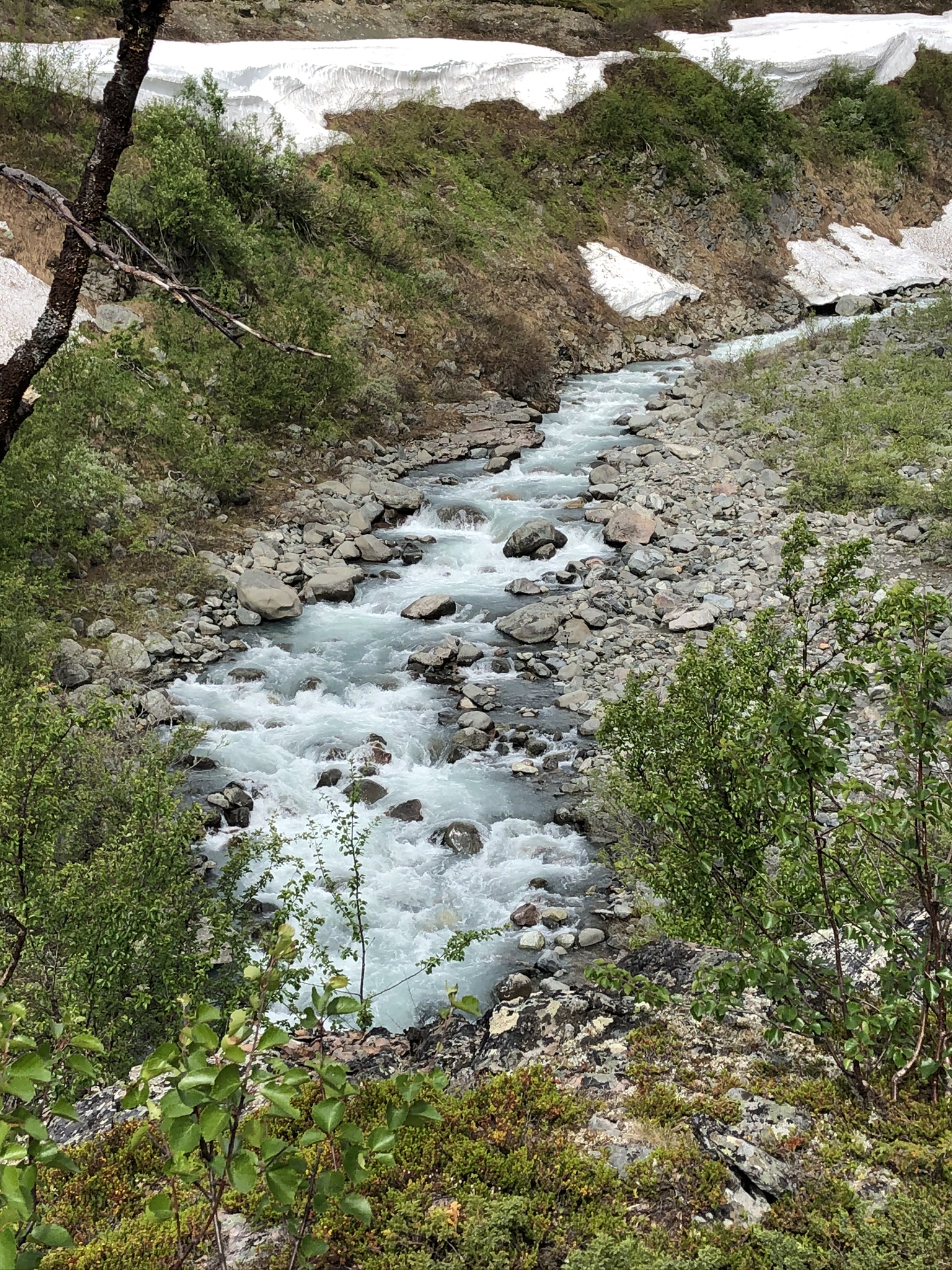
In the southern part of the trail where the valley joins Ladtjovagge and the trail Kebnekaise – Nikkaluokta, the streem has carved out a magnificent canyon.
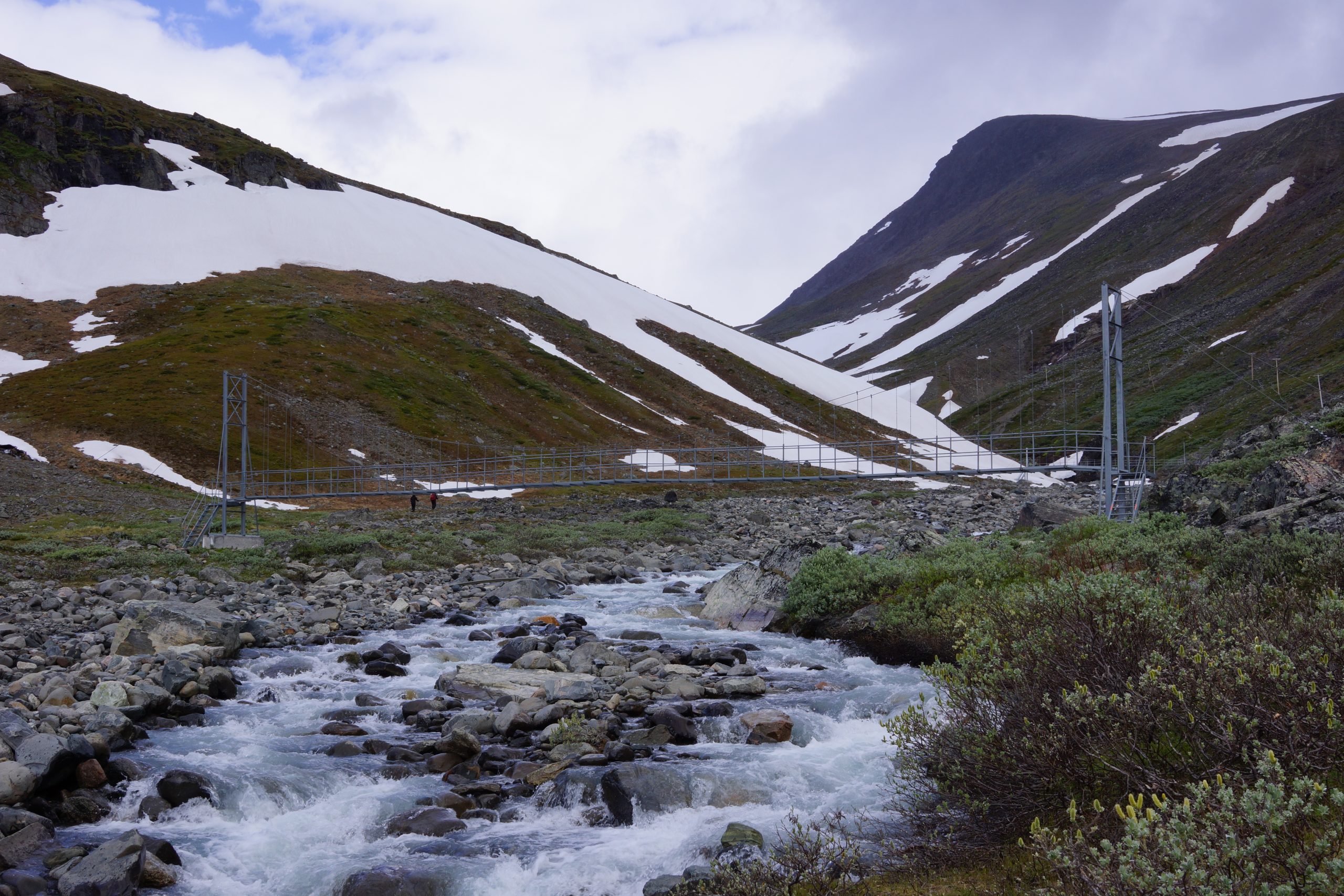
In one section of he trail, a landslide has brought out large boulders on the path. To help the passage and avoid climbing over the boulders, there are two suspension bridges. After crossing the bridge trail temporarily changes the side of the creek.


After a steep climbing, the marked trail continues on slightly flatter terrain crossing a rocky area as far as to the STF Tarfala Mountain Cabin.
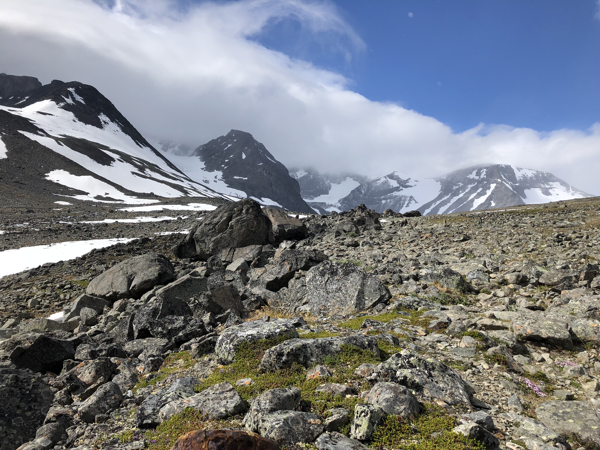


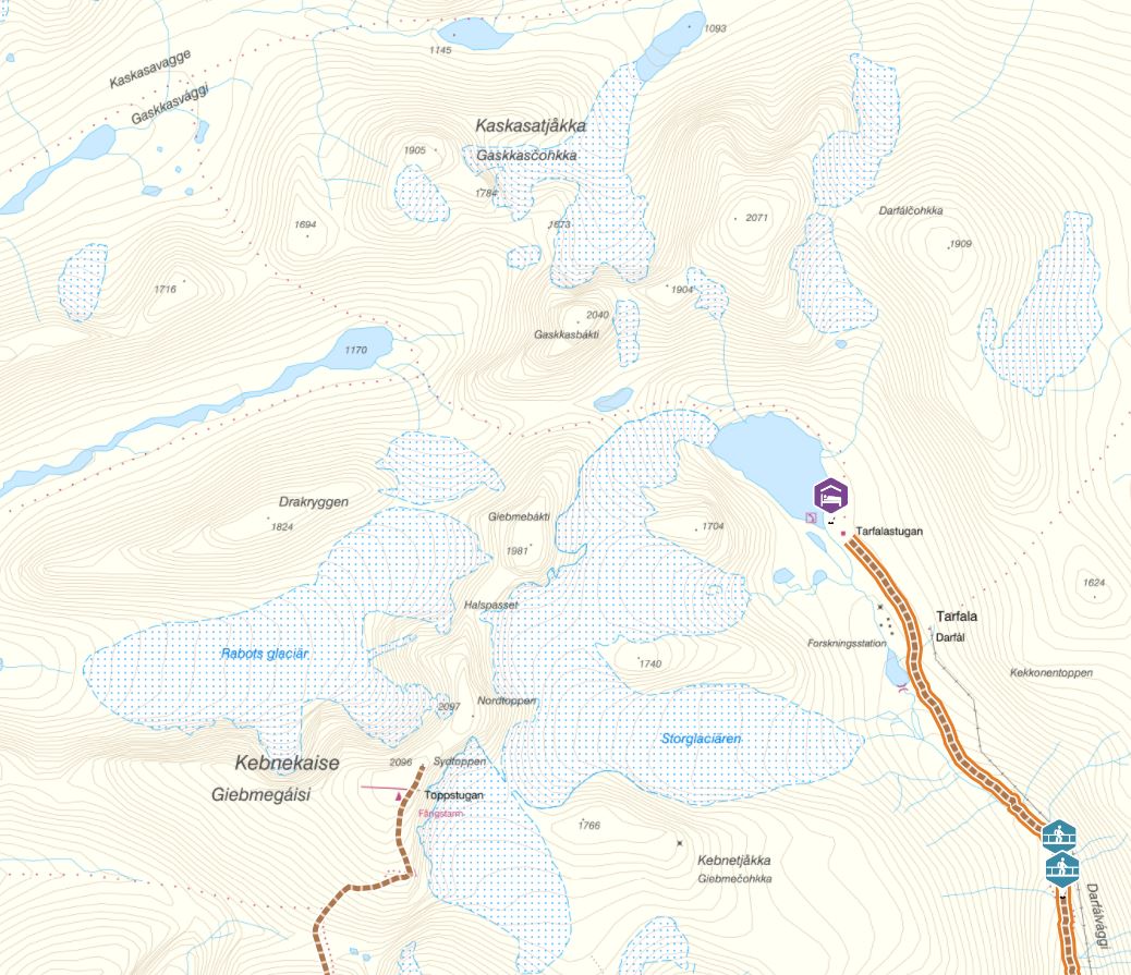
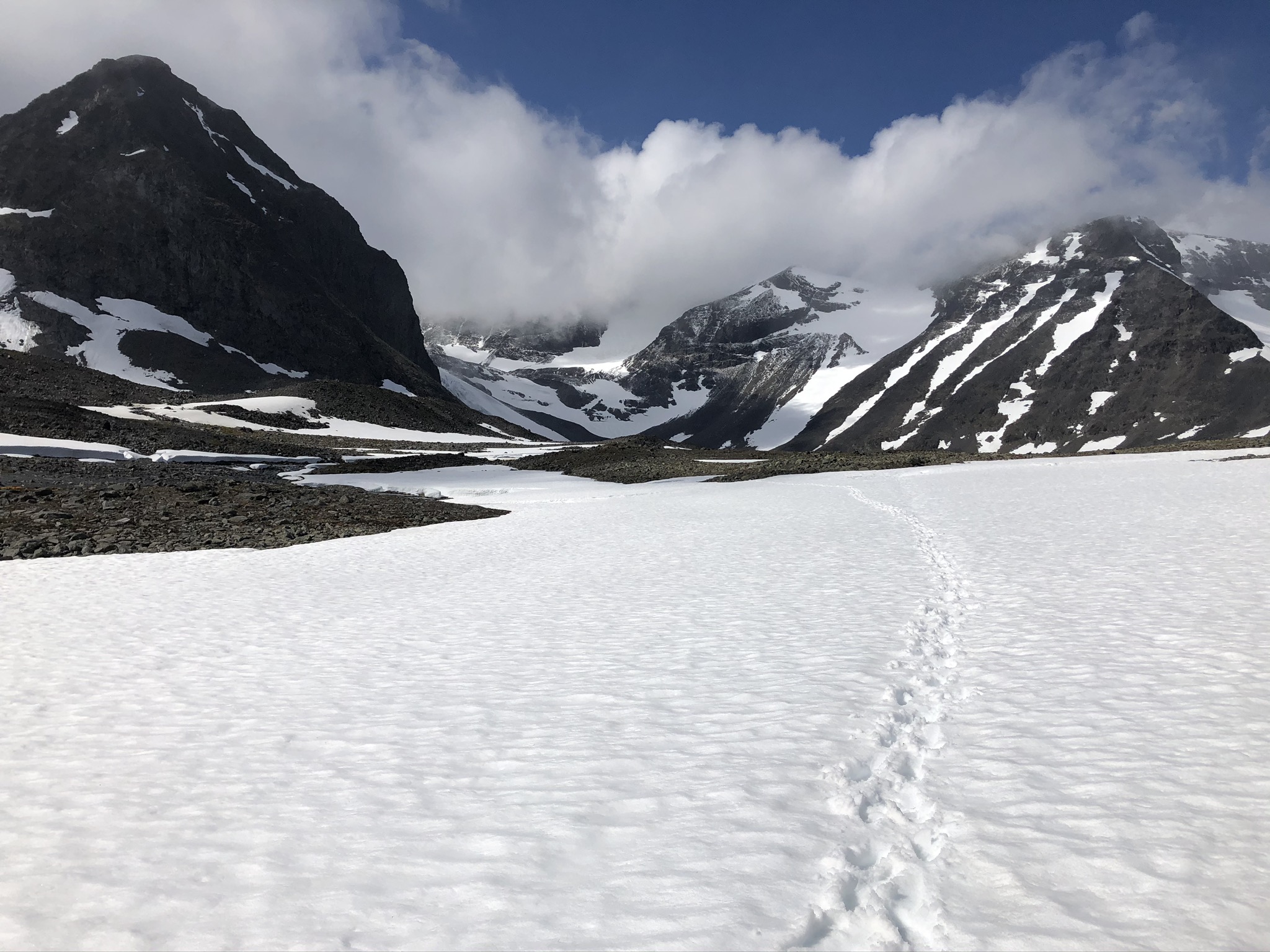
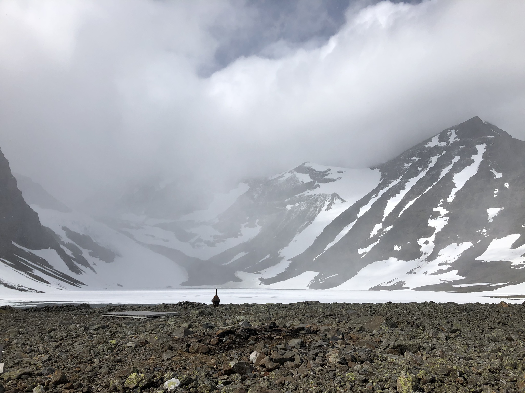
The upper part of the valley is surrounded by some of the Swedish highest mountain peaks. Several peaks are over 2,000 metres high – Kebnekaise’s north and south peak, Kaskasapakte and Kaskasatjåkka.
Kaskasatjåkka (Northern Sami: Gaskkasčohkka) is the third highest mountain in Sweden after Kebnekaise’s North and South Peaks and Sarektjåkkå. Its highest peak 2,076 meters above sea level is a flat top-plateau that is covered in snow most time of the year. The view from the summit stretches over the Tarfala valley and Kebnekaise mountain.
Kaskasatjåkka is also used as a route to Kaskasapakte. Kaskasapakte (Northern Sami: Gaskkasbákti) has an elevation of 2043 meters and is Sweden’s sixth highest peak and one of Sweden’s twelve peaks with a height of over 2000 meters. It is considered one of the more difficult mountains to climb in Sweden. The north face provides 500 m of vertical rock and ice straight to the top.
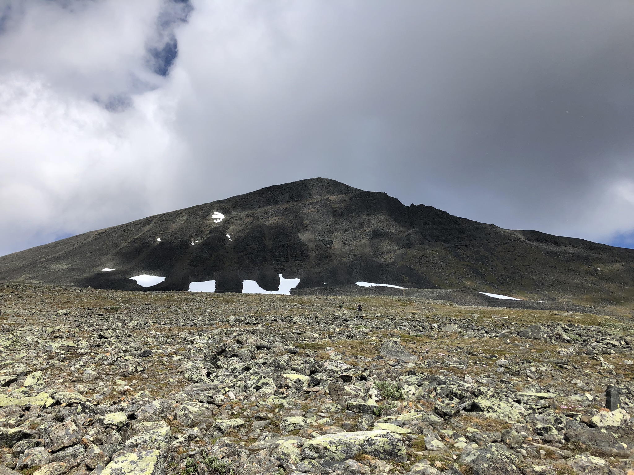
On the western side of the stream is two slightly smaller tops, Kebnetjåkka with two mountain peaks (Kebnetjåkka Lilltopp 1531m, Kebnetjåkka Stortopp 1763m) and Klippberget (Södra Klippberget 1742m, and Norra Klippberget 1711m).


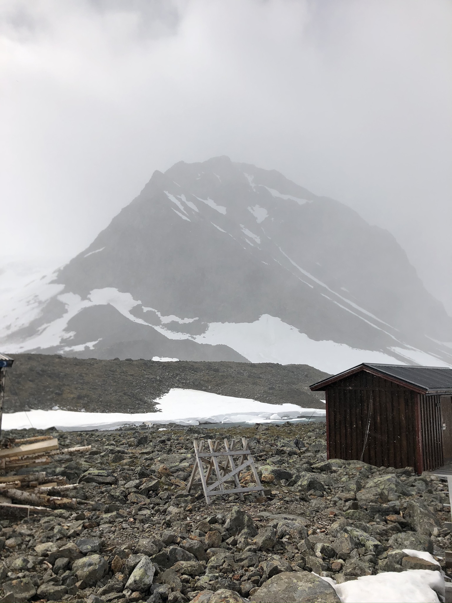

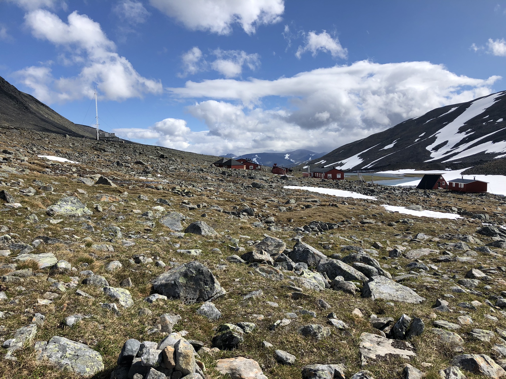
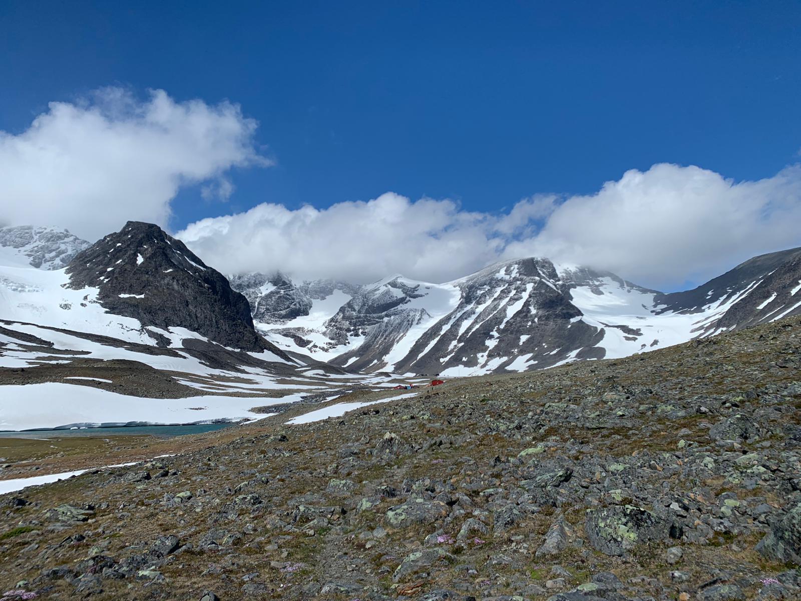
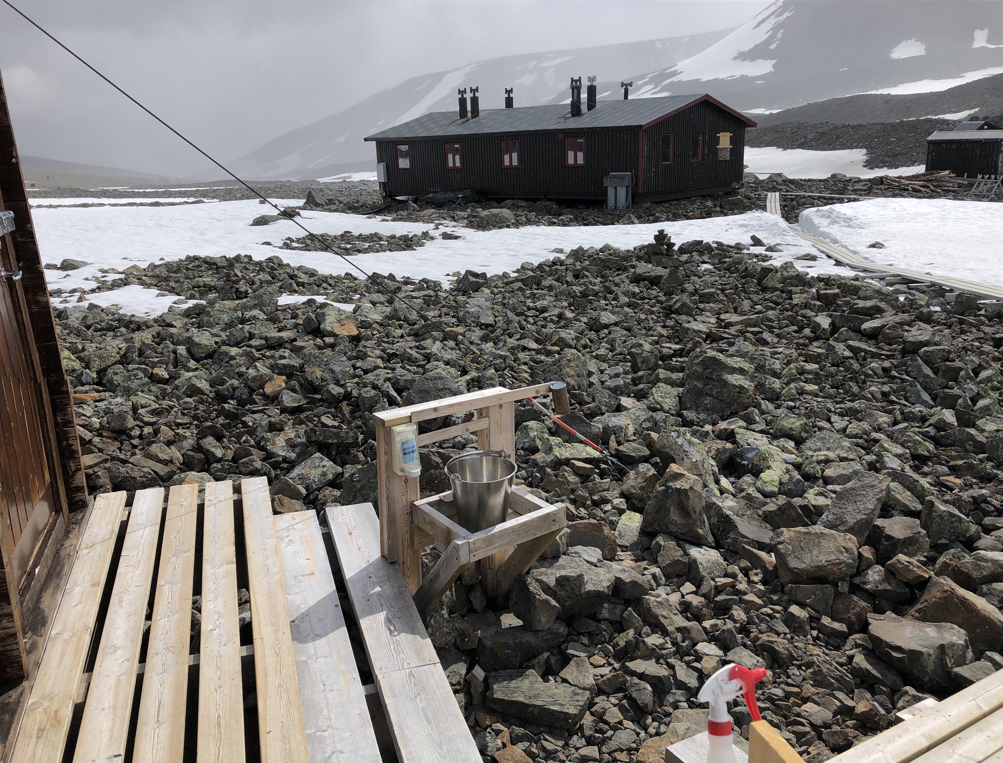
About 1K before the mountain cabin is Tarfala Research Station. Tarfala Research Station is a field station owned and run by the Stockholm University, Department of Physical Geography. The glaciological research at the station has been conducted since 1946 when it was established with the main aim to study glaciers. Today, the station conducts glaciological, hydrological, meteorological, and climatological research.
The station lies at an elevation of 1,135 meters and is occasionally hit by katabatic winds, which can generate very high wind speeds. The Swedish record of measured wind speed is from Tarfala Research Station with 81 m/s (290 km/h, 180 mph) on 20 December 1992.
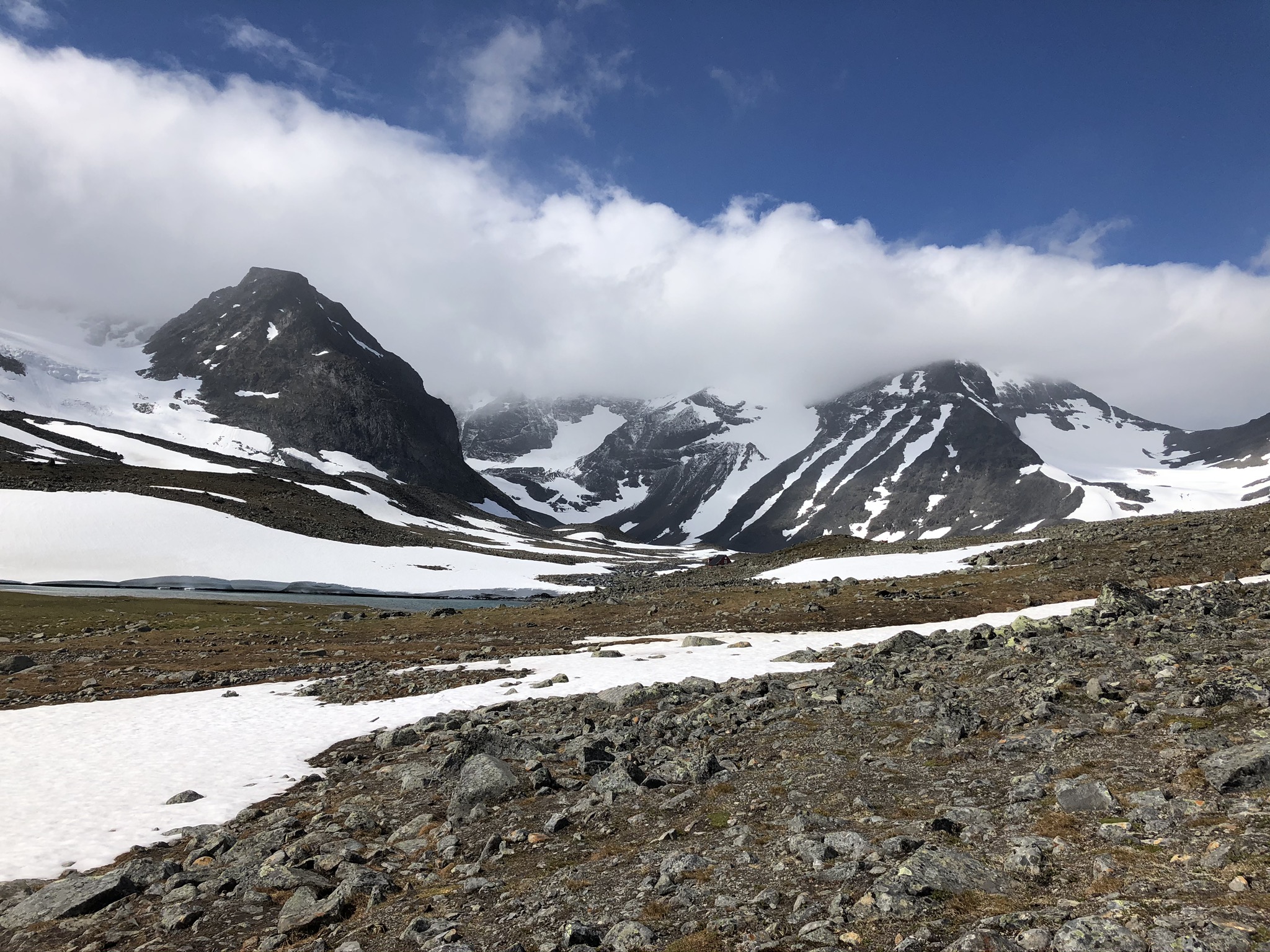
Four glaciers are located in the Tarfala valley of which Storglaciären is extensively studied and the most well-known. It was on Storglaciären that the first glacier mass balance research program began 1945/46 which continues to the present day. This is the longest continuous study of its type in the world.
Before it joins the stream Tarfalajåkka, the water from the glaciers and the Tarfala lake forms small delta lakes on the flat area between mountains. The largest of them is Lillsjön, nearby the Tarfala Research Station.
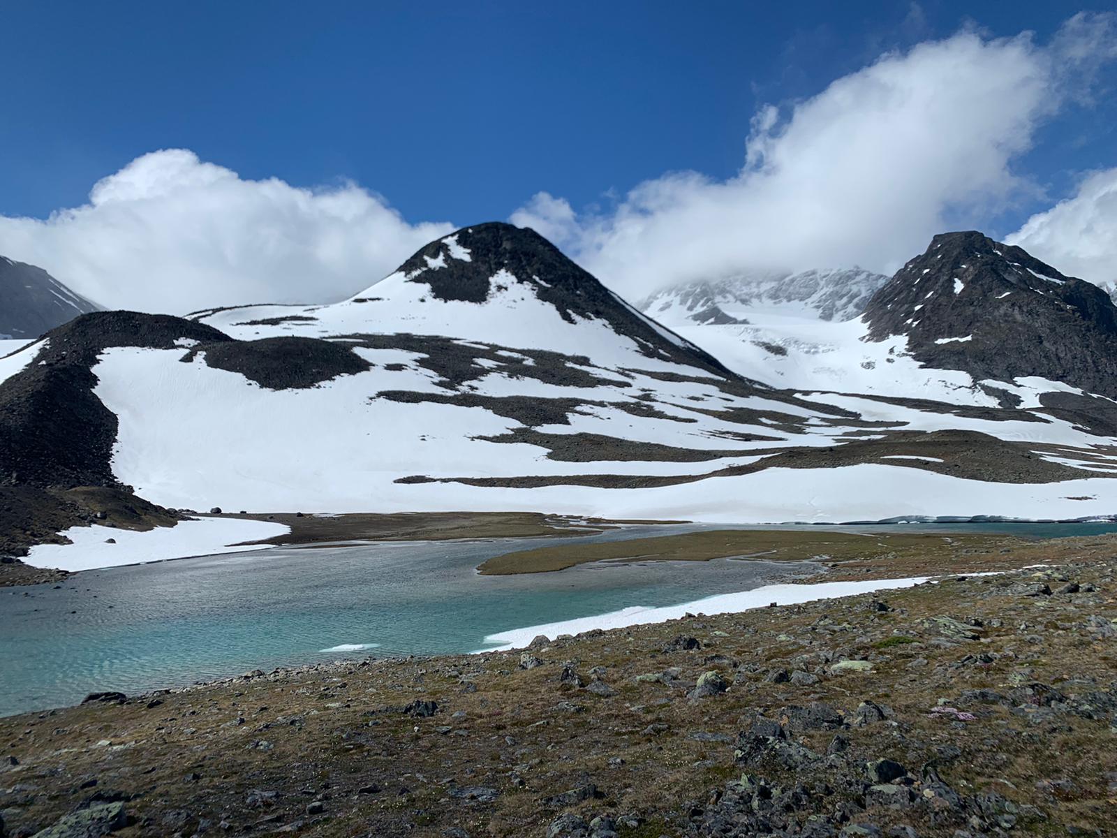


The highest up in Tarfala valley at an elevation of 1,166 meters above sea level is where Tarfala Lake (Swedish: Tarfaljaure) is located. The lake is 52 meters deep and has an area of 0.547 square kilometers. The ice on the lake melts in July and formates in October. The lake is directly connected to a glacier Kebnepakte and was formed by the erosion of the glacier. The lake is drained by the stream Tarfalajåkka and is one of the most important headwaters of Kalixälven (Northern Sami: Gáláseatnu).
The Tarfala Lake provides an opportunity to study the development of a lake and its ecosystem in the light of melting glaciers and the changing climate.
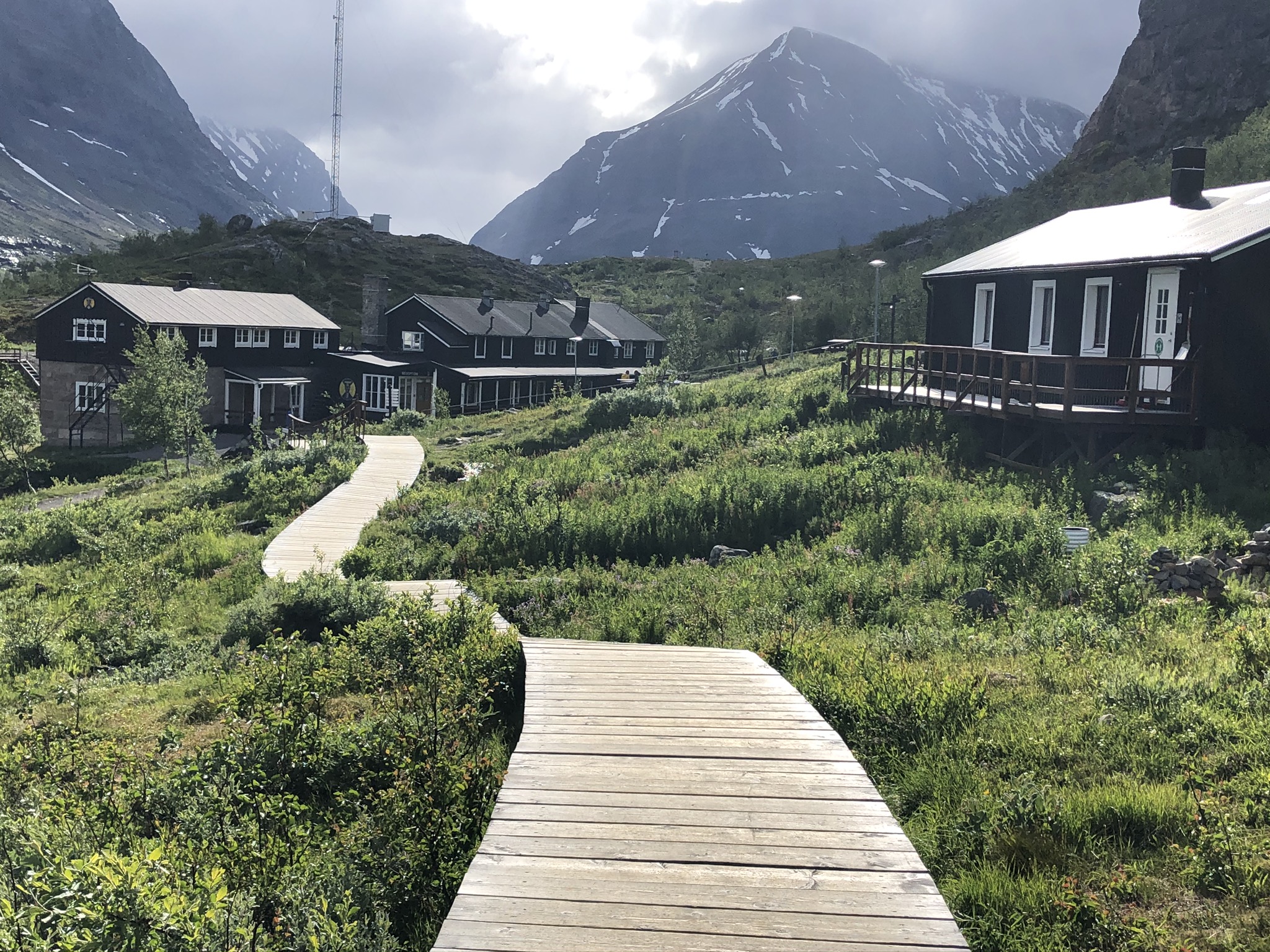
Tarfala Mountain Cabin (Swedish: Tarfala Fjällstuga) is located far into the Tarfala valley and is beautifully embedded between peaks and glaciers. This is the highest alpine cabin of all STF mountain cabins. Most people go to Tarfala on a day trip, stopping by cabin for a lunch break before they go back to Kebnekaise. The cabin has 22 beds, a drying room, and a large shared kitchen. There is also a security room with a kitchen and two beds. Adjacent to the room is the helpline (emergency phone service).


Hikers who want to continue to further in Kebnekaise massif (Kaskasavagge, Kuopervagge and Unna Räitavagge) can follow the route “Trepassleden” a.k.a “Jojo-leden”. This trail goes mostly in high alpine land and requires mountaineering skills, the routine of using crampons, and good physical condition.
