Crossing the Nullarbor
I’ll just preface this post with a disclaimer that there are a TON of blog posts out there about the Nullarbor. I’ve read a dozen or more of them myself. There is a lot to do on the Nullarbor (Tourism Australia recommends SIX DAYS in their official itinerary!), and we barely touched on a small portion of it. If you’re planning your own trip, make sure to do lots of research, and maybe allow more time than we did (two nights and three days), to be sure to explore all the side trips and beaches, and play the world’s longest golf course, which we weren’t able to do.
Yes, you read right, the world’s longest golf course is along the Nullarbor – there are 18 holes spread across two states and three time zones! You can pick up your scorecard from the info centre in Kalgoorlie and rent clubs at each hole along the way.
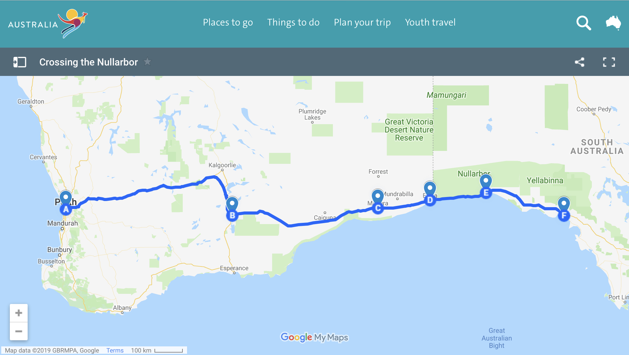
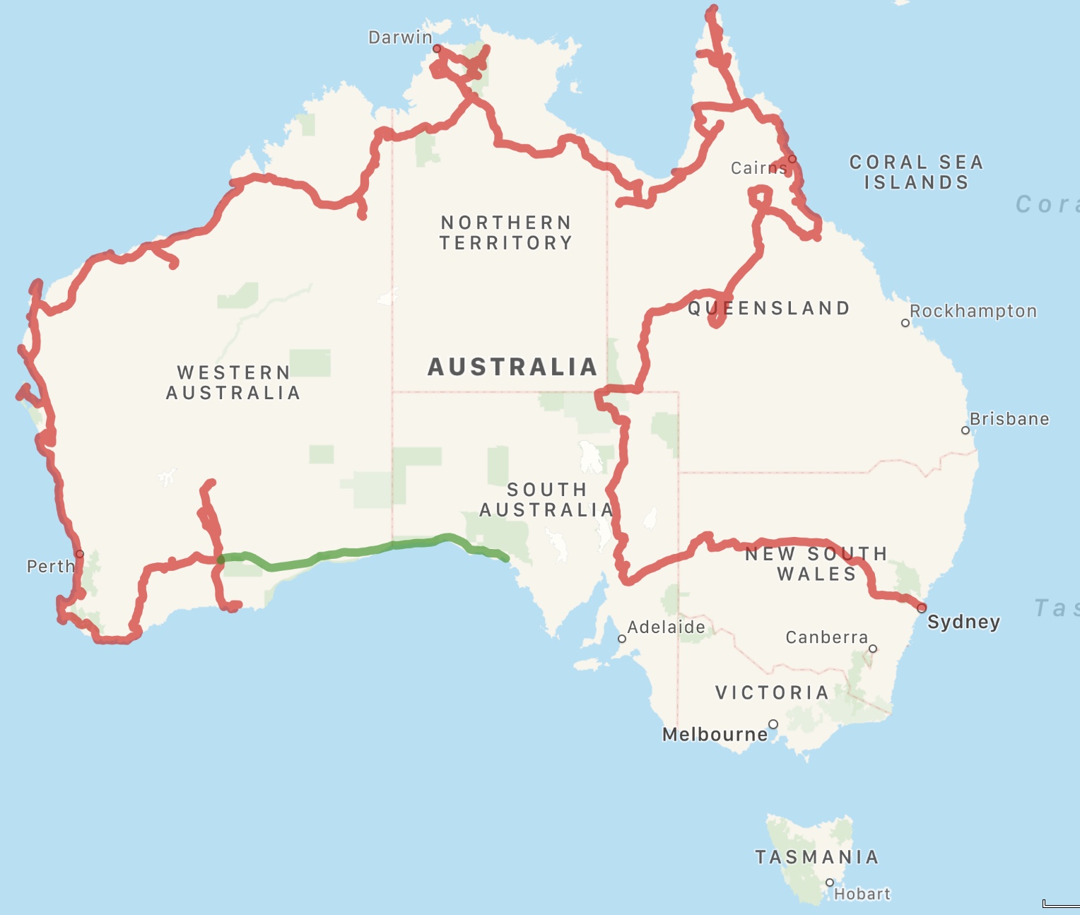
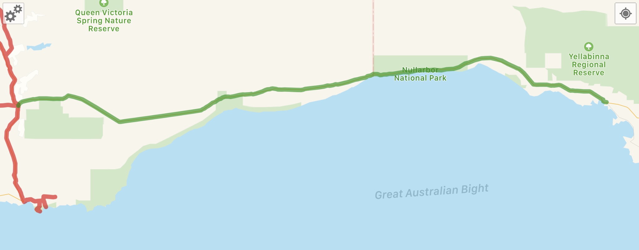
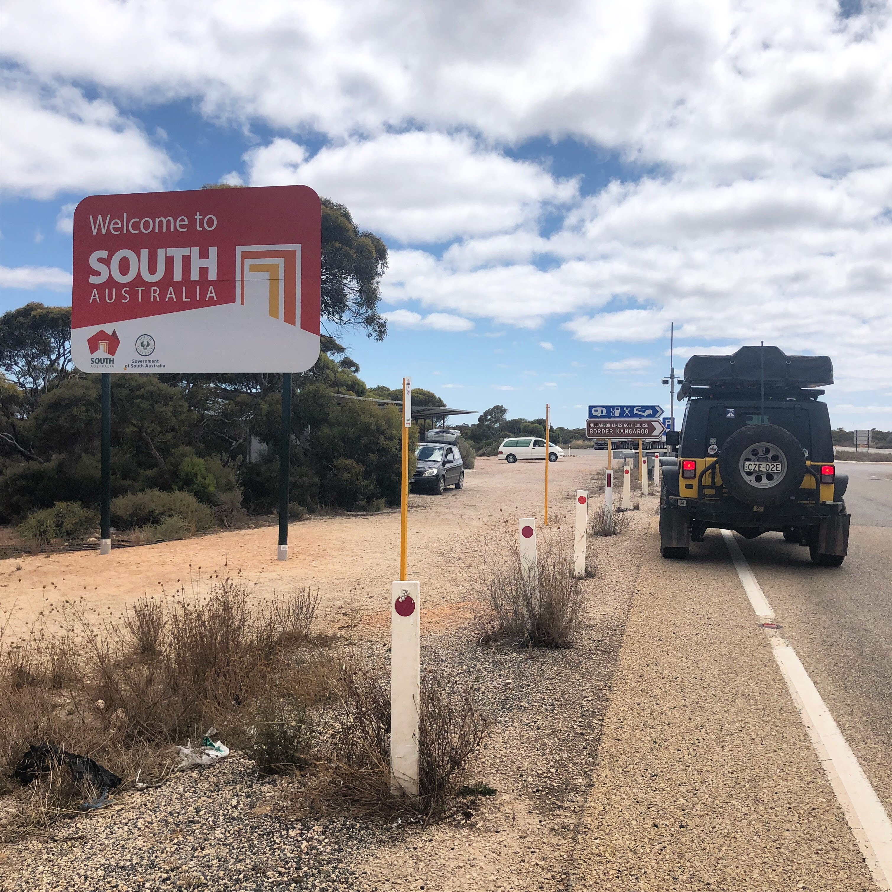
The Nullarbor is a term colloquially used to refer to the 1,200km stretch of highway 1 between Norseman WA (Western Australia) and Ceduna SA (South Australia). Nullarbor should really only be used to refer to the Nullarbor Plain, which is the word’s largest single exposure of limestone bedrock, and (fairly) treeless.
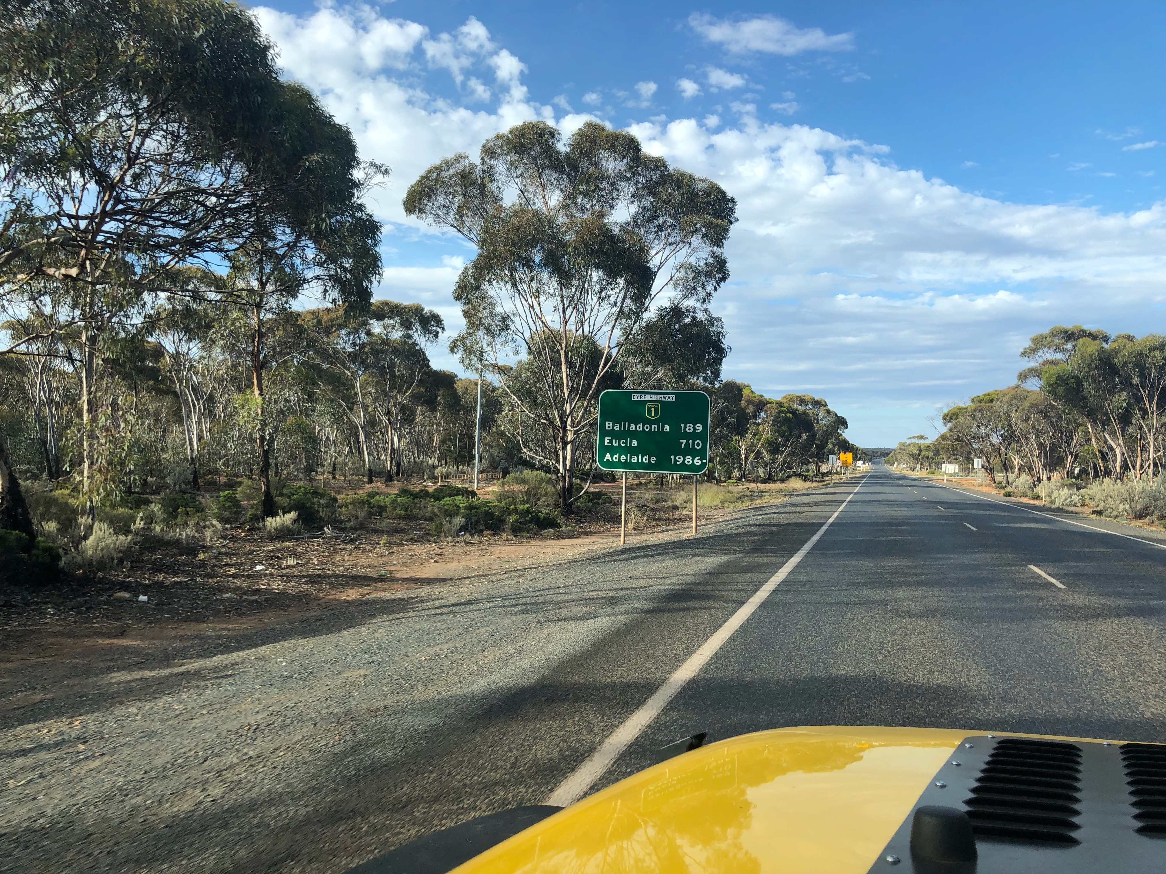
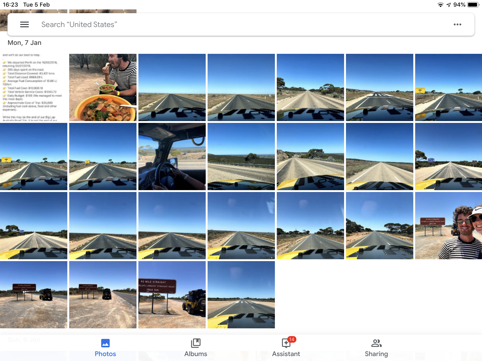
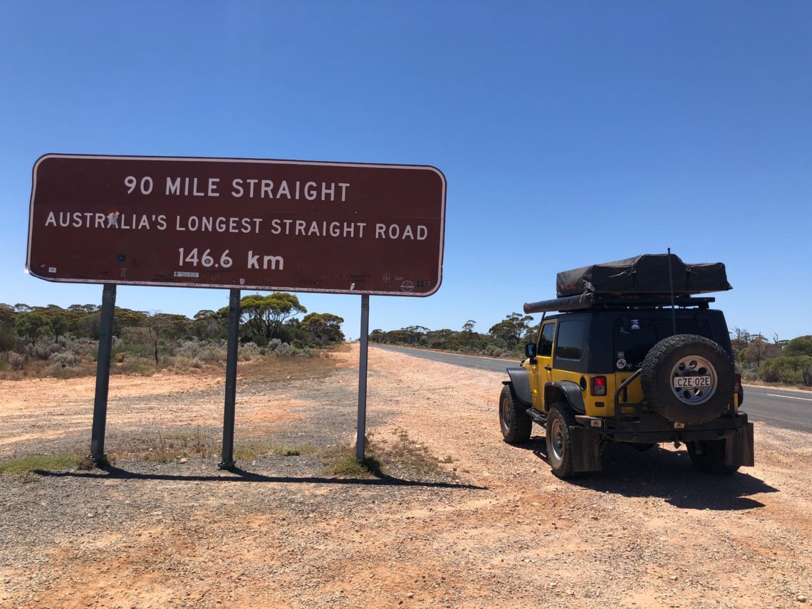
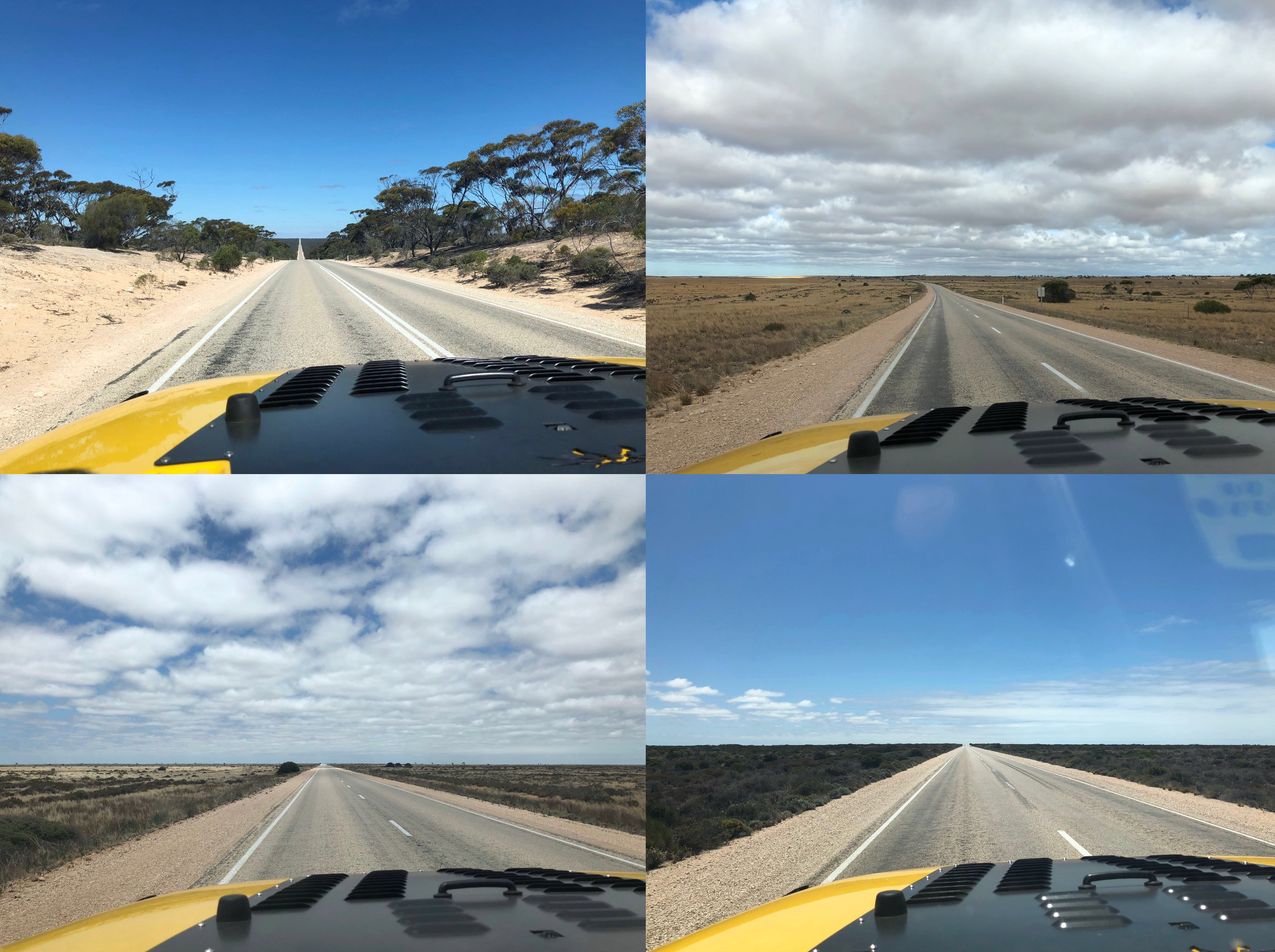
While we didn’t play the golf course or go to see many of the monuments and coastal points of interest, we did still see some cool stuff along the way. Nick was especially excited to drive the “90 Mile Straight”, the longest straight road in Australia and one of the longest in the world. We structured our driving (taking 2 hours each so that we were sure to not get fatigued) so that he’d be “on shift” at the start of the 90 mile straight.

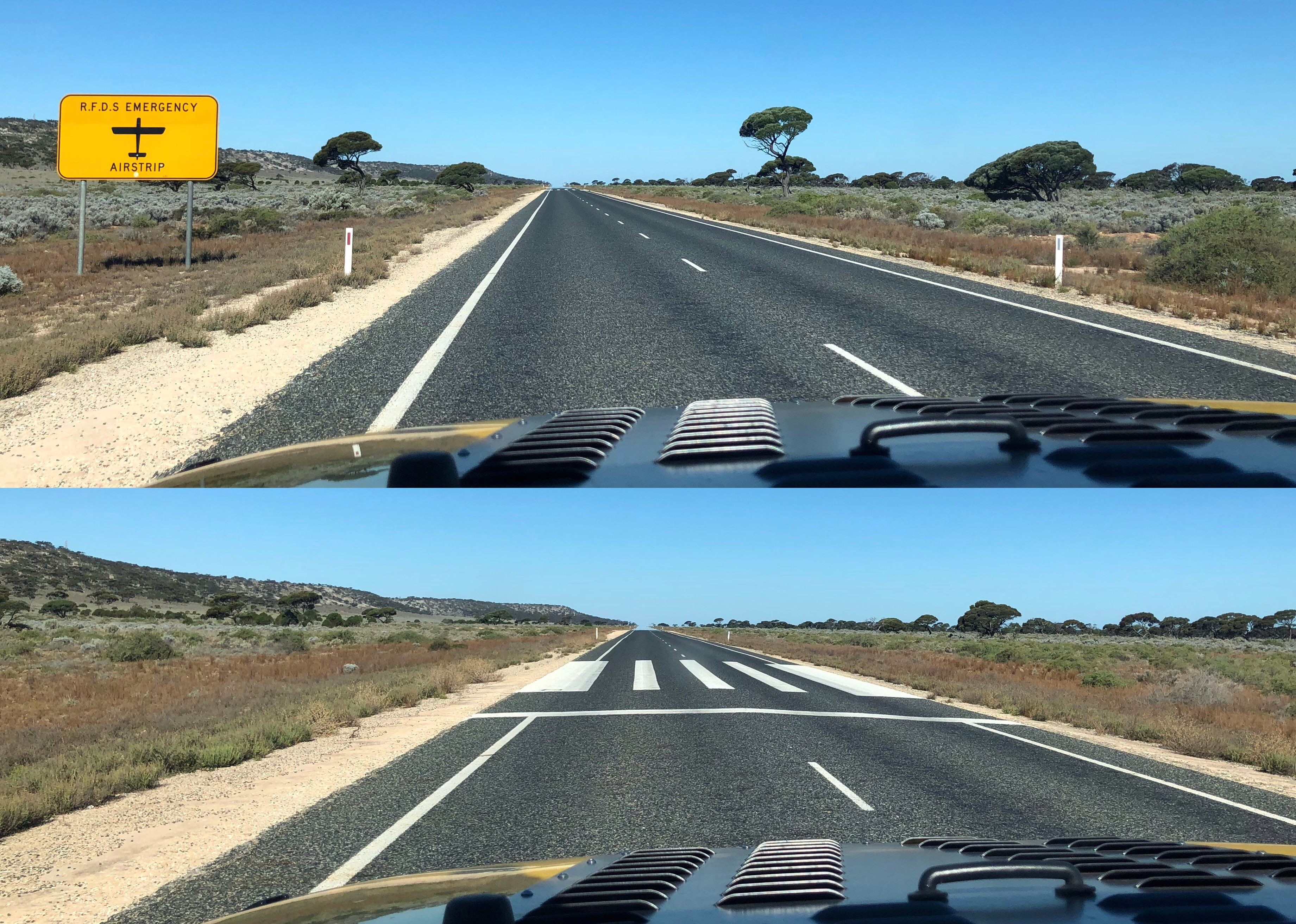
It was also cool to see how the Royal Flying Doctor Service uses parts of the highway for landing strips in case of emergency. I’ve written about the RFDS before, it’s an incredibly important lifeline for Australian rural areas, and Nick and I are really interested in the history and logistics of it. We always get a kick out of encountering RFDS “in the wild” like this.
We were out of whale-watching season, but at the Great Australian Bight, there is meant to be unsurpassed whale watching between the months of May and October. We still popped out at a few of the lookouts to check out the still-amazing, although whale-less, views.
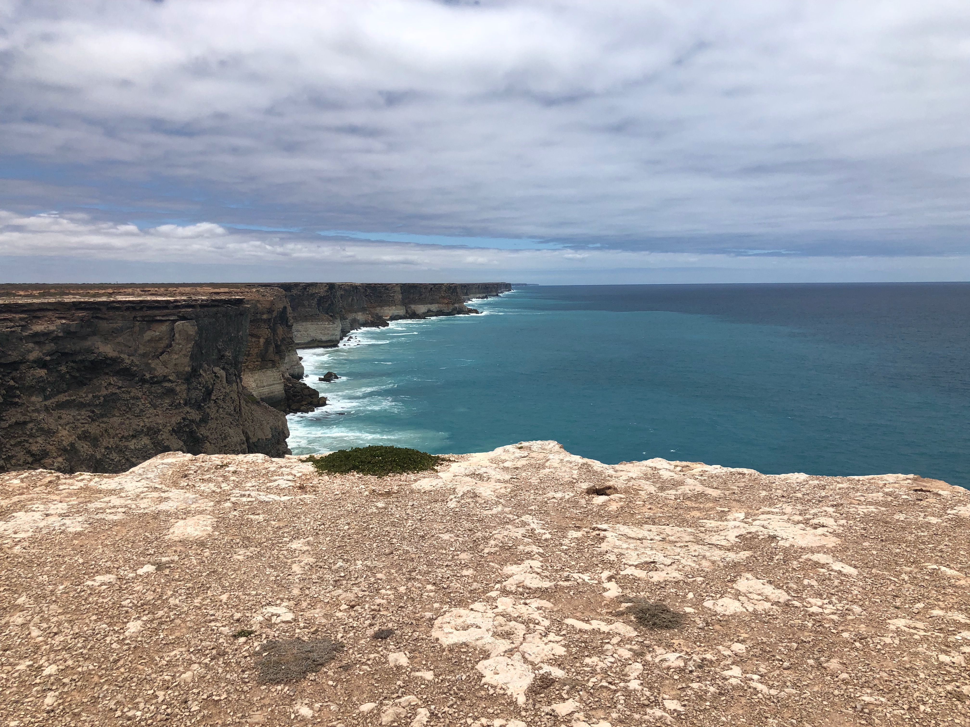
It also never ceased to amaze us how different the scenery could be even though the road was absolutely straight as. Here’s a little sampling:
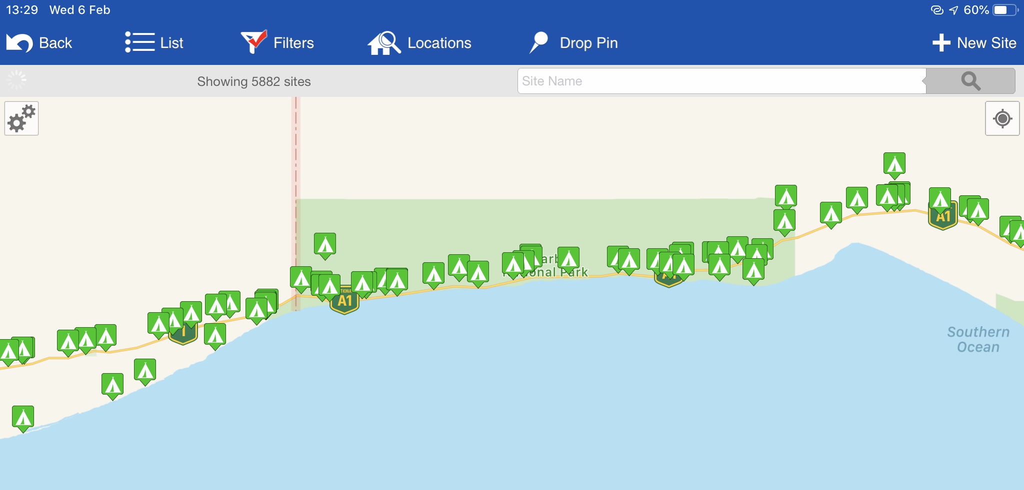
There are many roadhouses and campsites all along the Nullarbor for fuel, supplies, and rest/sleep breaks. We opted to stay at the free campsites rather than pay $30ish to stay at the roadhouses, but this meant that we also went without showers for longer than we’d care to admit (since we had also bush camped between Esperance and Norseman). Sometimes a roadhouse or fuel station will have coin-operated or pay showers, but most of the ones we encountered along the Nullarbor were charging $10 per shower, too steep for us – just goes to show you how precious water is out there (we finally did have a shower at the Border Village roadhouse for $2 each 10 minutes – bliss!!)
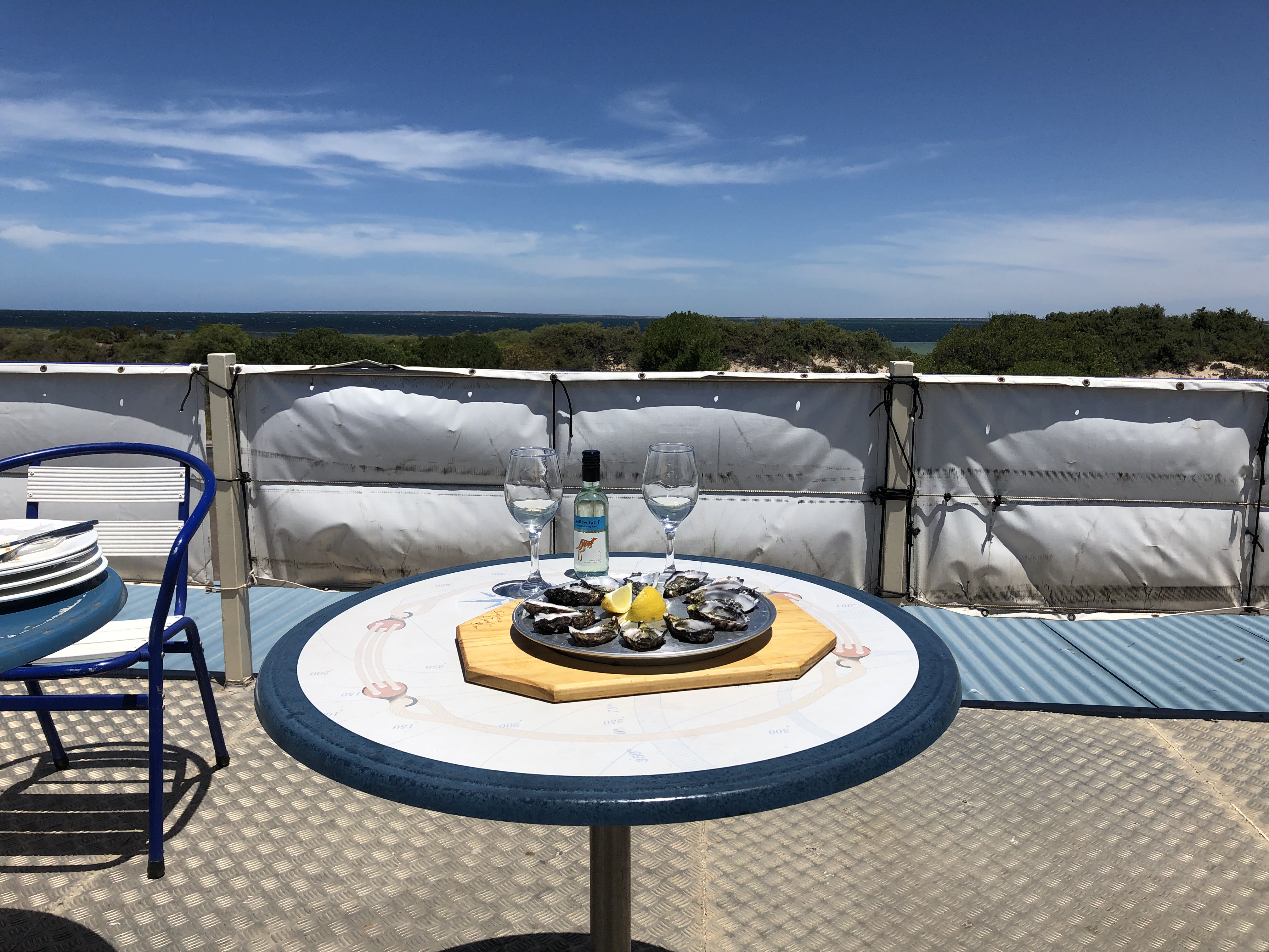
After 3 long days of driving we happily arrived at Ceduna in South Australia (Ceduna is the end of the Nullarbor) and celebrated with a dozen oysters overlooking the ocean.
So how did we pass the time during 1200km of driving? We listened to a LOT of podcasts – probably half of the archives of the show Reply All (a great show about the internet – and humanity in the era of the Internet), every new episode of The Daily from the NY Times (summarising current events in 20-30 minutes a day), and blew threw a lot of TL;DR (now inactive – but this was Alex & PJ’s show about the internet, prior to creating Reply All). If you’re into podcasts, check them out!
Next up we’re tackling the Eyre Peninsula in South Australia, hugging the coast on both the Eyre and Yorke Peninsulas before arriving in Adelaide, and of course having many more adventures along the way!